Land subsidence, which seems to be a quiet geological phenomenon, is actually a threat to urban planning, building safety and even ecological environment that cannot be ignored. Fortunately, with the rapid development of satellite navigation technology, land subsidence monitoring equipment is gradually becoming the "superhero" of monitoring land subsidence, with its high-precision, all-weather advantages, for us to uncover the hidden subtle changes under the surface.
When it comes to GNSS, most people first think of daily life scenarios such as car navigation and mobile phone positioning. However, when this technology is introduced into the field of land subsidence monitoring, its potential is infinitely amplified. By receiving signals from multiple satellites, GNSS is able to calculate the three-dimensional coordinates of ground monitoring points in real time, with an accuracy of millimeters or even higher. This means that even small ground movements cannot escape the GNSS '" eye of fire ".
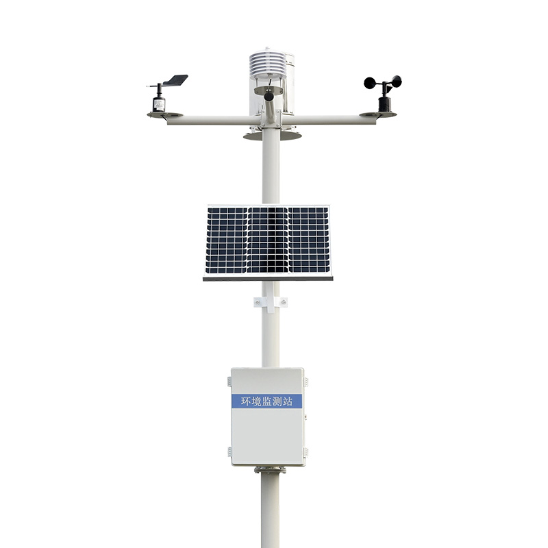
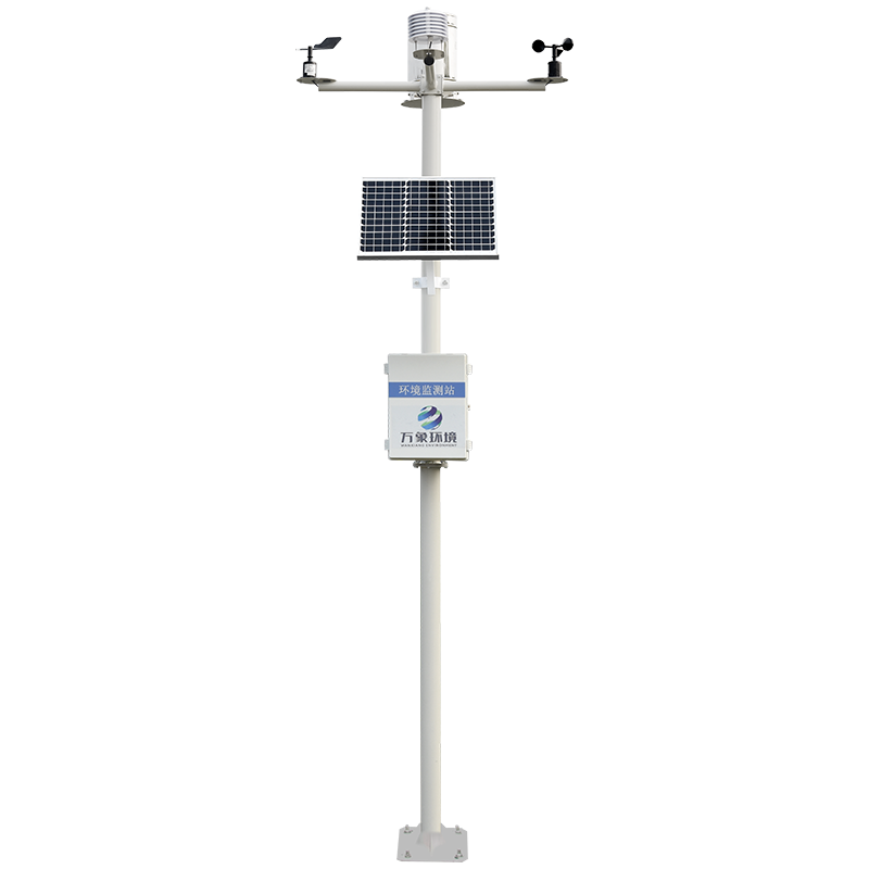
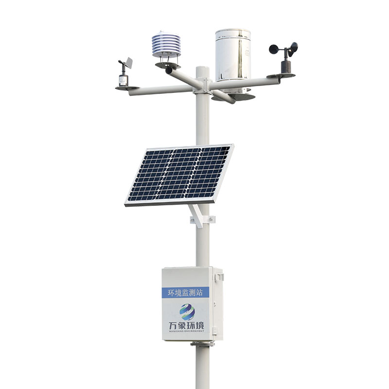
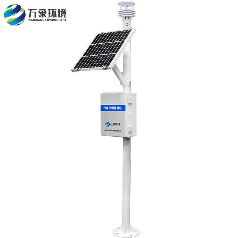
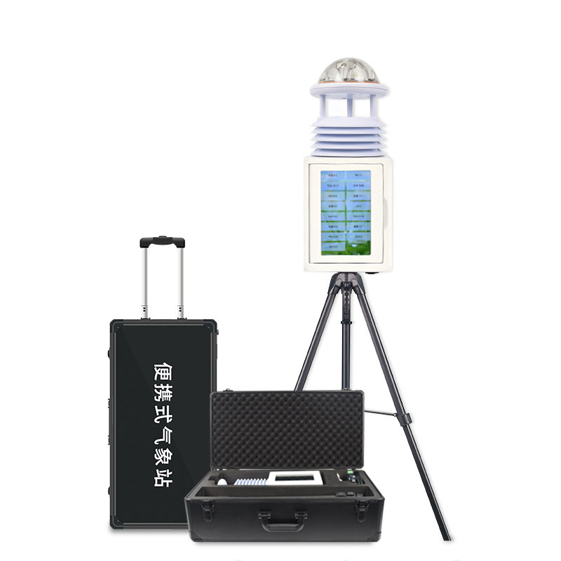
In the WX-WY1 land subsidence monitoring equipment, GNSS equipment is deployed in key areas such as urban dense areas, groundwater extraction areas, geological disaster prone areas, etc. They are like a group of tireless "surface detectives", collecting data around the clock. By comparing the coordinate changes at different time points, researchers can accurately calculate the subsidence rate and cumulative subsidence amount of the ground, which provides a scientific basis for urban planning and disaster warning.
Ground subsidence will not only cause buildings to tilt and crack, but also affect the normal operation of underground pipe networks, and even lead to more serious geological disasters. The application of land subsidence monitoring equipment enables us to detect subsidence signs in advance, take remedial measures in time, effectively slow down the subsidence speed, and protect urban infrastructure and residents' life and property safety. At the same time, this data also provides a valuable reference for urban planners to help build a safer and more sustainable urban development blueprint.

Article address:
http://m.25561.cn/en/newcen/1229.html


 Home
Home phone
phone Product Overview
 Contact Us